Maps
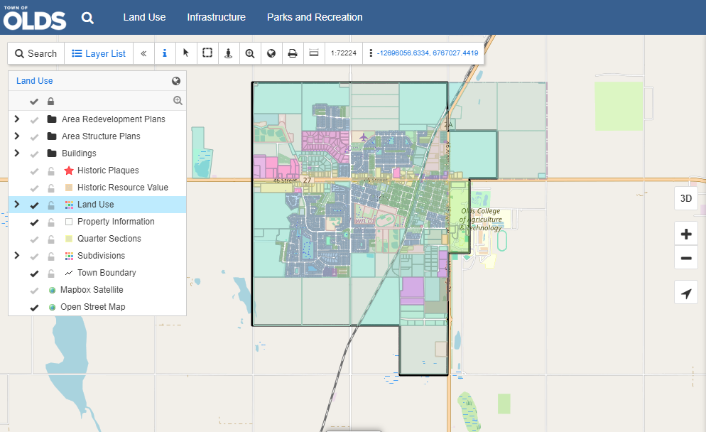
The Town of Olds Interactive Development Map (aka GIS Map) is a helpful tool for realtors, property buyers, developers, and others. It provides property zoning and land use information, services and infrastructure and much more.
Trails and Pathways
The Town's trail system consists of more than 15 kilometres of both paved and unpaved trails, and routes are incorporated by town streets.
Visit the Trails and Pathways page or view the routes through the GIS Map by selecting the Parks and Recreation tab at the top.
Contact Us
Town of Olds
3501 70 Avenue
Olds, Alberta, Canada
T4H 1L7
Phone: 403-556-6981
Email: admin@olds.ca
Sign up to receive News & Notices
Stay up to date on the city's activities, events, programs and operations by subscribing to our eNewsletters.